Valparai’s 40 Hairpin Bends in Torrential Rain: The Hidden Hazards Google Maps Won’t Warn You About
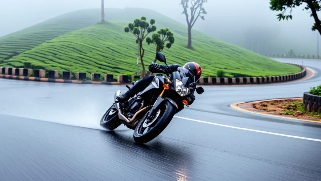
Riding up to Valparai in a sudden Western Ghats downpour reveals a dangerous reality: Google Maps can plot the 40 hairpin bends, but it cannot show you the blinding water runoff, slick moss-covered curves, and aggressive state transport buses taking over your lane.
You look at your screen at the Pollachi foothills: “1 hour 45 minutes to Valparai.” It looks like a straightforward, scenic climb. The road is broad, the tarmac is smooth, and the initial curves near the Aliyar Dam checkpost feel like a biker’s paradise.
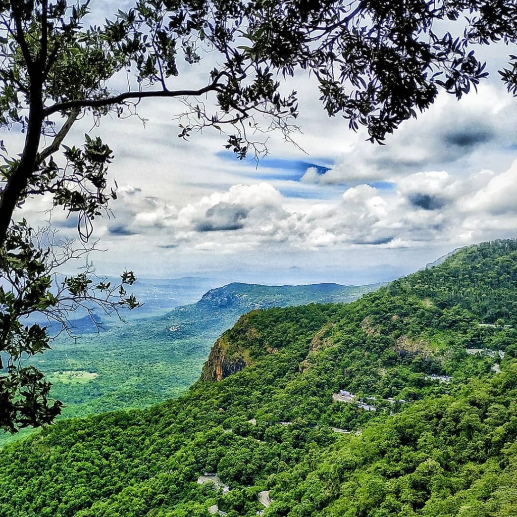
But when the monsoon skies open up over the Anamalai Tiger Reserve, those blue lines on your GPS turn into a high-stakes survival run. What Google Maps visualizes as a simple winding road is actually a dynamic, high-risk corridor where local geography and sudden weather shifts dictate your safety.
If you are planning to ride the Valparai circuit during the rains, here is the raw, unpolished truth about what lies ahead—and how to navigate it safely.
| Factor | Critical Traveler Details |
|---|---|
| Best Ascent Hours | 7:00 AM – 1:30 PM (Post-noon rain is highly unpredictable) |
| Danger Window | 3:30 PM – 6:30 PM (Blinding mist meets evening downpours) |
| High-Risk Zone | Hairpin Bends #20 to #32 (Heavy water runoff and rockfall) |
| Fuel Availability | Fill up at Pollachi; very limited/unreliable options until Valparai town |
| Road Conditions | Smooth but highly slick asphalt; deep drops with low concrete barriers |
The Three Hidden Hazards Google Maps Doesn’t Show
A navigation app’s primary job is to show you the route and traffic density. It doesn’t account for the unique microclimate of the Pollachi-Valparai ghat road. When torrential rain hits, three specific hazards materialize instantly.
1. The Invisible “Water Chutes” on Hairpins 20 to 30
Between hairpin bends 20 and 30, the mountain walls are incredibly steep. During heavy rain, these rock faces act as giant funnels. Water doesn’t just drain off the road; it sheets across the apex of the hairpin bends in rapid, muddy torrents.
If you lean your motorcycle into these bends at normal speeds, your front tire will hit these water sheets, causing instant aquaplaning. What looks like a clear curve on your GPS is actually a temporary stream bed.
2. The TNSTC “Corner Cutting” Reality
The green and white Tamil Nadu State Transport Corporation (TNSTC) buses ply this route daily. The drivers know every inch of these 40 hairpins. In heavy rain and thick fog, their visibility is severely compromised.
Because these buses are long and the hairpins are tight, they must occupy both lanes to swing around the curves. Google Maps cannot warn you that a multi-ton bus is currently taking up your entire lane around a blind, rain-slicked corner at Hairpin #28.
3. Silt and Moss Accumulation on the Inside Lines
When it rains, water carries fine silt and organic debris down from the forest floor, depositing it directly onto the inner curve of the hairpin bends. To make matters worse, the damp, shaded mountain environment promotes rapid green moss growth right on the edge of the asphalt. Hugging the inside line to avoid oncoming traffic can put your tires directly onto this soap-slick surface.
How to Survive the Valparai Climb in the Rain
Riding this circuit safely isn’t about speed; it is about lane discipline, throttle control, and respecting the local environment. Use these seasoned riding strategies to conquer the 40 hairpins:
- The Wide Entry, Late Apex Rule: Do not hug the inside of the curve too early. Keep your bike upright longer, look through the turn, and make your turn only when you can see a clear path free of oncoming buses and running water.
- Never Ride in Neutral or High Gears: Keep your engine in second gear while climbing and descending. This provides immediate engine braking to control your speed without overusing your brakes, which can easily lock up on wet tarmac.
- Horn Before Every Single Bend: Sound your horn twice before entering any hairpin. In heavy rain, the sound of falling water drowns out engine noises. A sharp honk is often the only way descending trucks and buses will know you are there.
- Watch the Leaf Litter: Pine needles and wet tea leaves frequently wash onto the road near the upper tea estates (around Iyerpadi). Treat these patches with the same caution you would reserve for black ice.
The Golden Rule of Valparai: Respect the Forest Cutoff
Beyond the asphalt conditions, the Valparai ghat road cuts directly through active elephant corridors. As afternoon turns to dusk, wildlife activity increases significantly. Combined with heavy rain and descending mist near Attakatti, your chances of spotting a herd on the road drop dangerously low.
If you haven’t crossed the Aliyar checkpost by 3:00 PM on a rainy day, consider staying in Pollachi. The mountain will still be there tomorrow, and a crisp, clear morning ride up those 40 hairpins is infinitely more rewarding than a stressful, blind battle against the monsoon night.
Frequently Asked Questions (FAQ)
Q: Are two-wheelers allowed on the Valparai ghat road at night?
A: No. The forest department checkpost at Aliyar restricts two-wheeler movement after 6:00 PM due to high wildlife activity, including wild elephants and leopards, as well as dangerous nighttime fog.
Q: Where is the last reliable place to get fuel before ascending to Valparai?
A: Pollachi is the most reliable place to fuel up your bike. There are no active petrol pumps along the ghat road itself until you reach Valparai town at the very top of the plateau.
Q: Which section of the Valparai climb is the most dangerous during monsoons?
A: The middle stretch between hairpin bends #20 and #32 is the most technical. This area is highly prone to sudden waterfalls running across the tarmac, minor rockfalls, and dense pockets of mist that settle near the Carver’s Marsh area.